Continuous Process Optimization of Critical Infrastructure Inspection
As critical infrastructure ages, the need for efficient, safe, and cost-effective inspection methods has never been greater. Traditional approaches are often slow, rely on costly resources, and are labor intensive.
Stantec knows this well. That's why they've continued to optimize their drone processes and find new ways to leverage technology to solve complex critical infrastructure problems safely and efficiently.
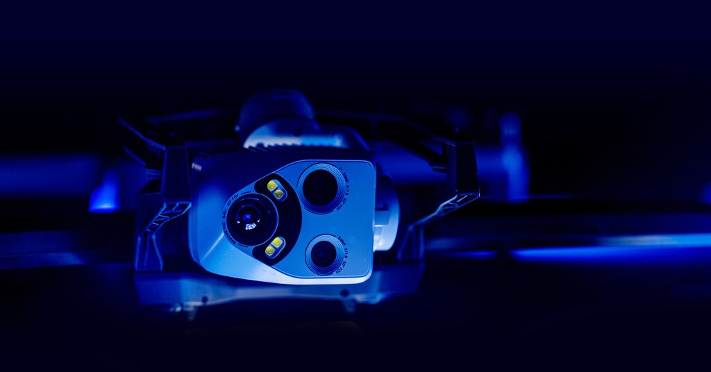
In this live talk, Joshua Sexton, Reality Capture Technology Manager, shares how Stantec uses Skydio drones to capture data in low-light GPS-denied environments autonomously — processed in gNext to transform the data collected in a challenging environment into actionable insights with a comprehensive operational picture around difficult assets.
Join the discussion to learn:
- Innovation Leadership: How Stantec sets new industry benchmarks with advanced drone technology and software solutions.
- End-to-End Workflow Integration: Combining Skydio's autonomous drones with gNext's software for seamless data capture and processing for digital twins
- Crucial Capability: ensuring inspections can be conducted whenever required, even in environment drones previously couldn’t access
- Enhancing Safety and Efficiency: Real-world examples of reducing risks, streamlining operations, and improving project outcomes.


